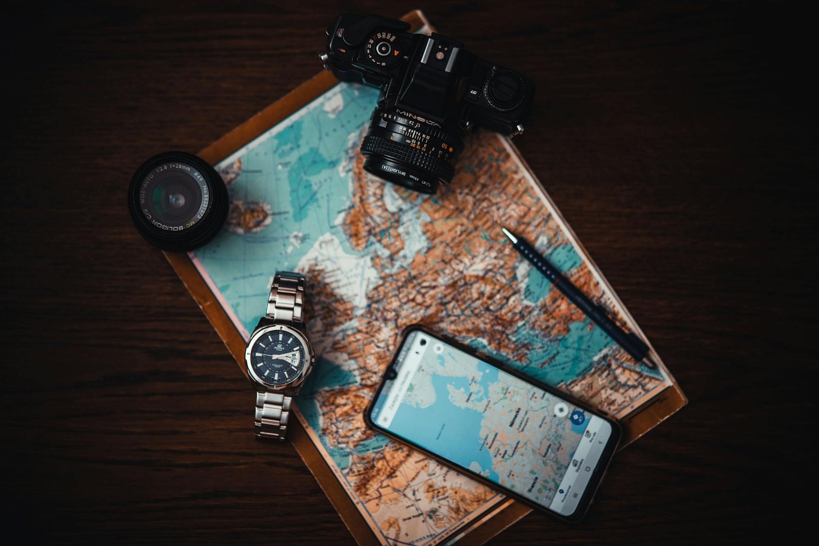
When we travel, planning our route is one of the most important steps to making the trip enjoyable. Knowing where to go, how long it takes, and what options we have can save time, reduce stress, and help us make the most of every day. Maps and apps are powerful tools that allow us to do this effectively. Whether we are walking around a new city, driving between towns, or exploring a foreign country, these tools give us confidence, direction, and flexibility.
Why Maps Matter
Maps are one of the oldest tools travelers use, and they remain incredibly useful even in the age of smartphones. Maps give us a clear picture of the area, showing streets, landmarks, and distances. When we see where places are located relative to each other, we can plan our day more efficiently. For example, when visiting a historic city, looking at a map helps us group attractions that are near each other, so we don’t waste time walking or taking public transport back and forth.
Paper maps or offline maps are especially useful in areas where mobile data may be unreliable. We can mark our planned stops, note alternative routes, or highlight emergency services like hospitals and police stations. Having this kind of visual overview makes us feel more secure and prepared, especially in cities or regions we are visiting for the first time.
Even simple maps, like those in guidebooks or tourist brochures, give us valuable context. Seeing the layout of neighborhoods or the main streets allows us to make decisions about where to eat, shop, or rest. Combined with apps, these maps give us both a high-level view and detailed navigation support.
Choosing the Right Apps
With technology, we have many apps that make route planning much easier. Google Maps, Apple Maps, Waze, Citymapper, and offline map apps all provide different advantages. Choosing the right app depends on the type of travel we are doing.
Google Maps is versatile for driving, walking, cycling, and public transport. It can estimate travel time, suggest alternative routes, and even give real-time traffic updates. Citymapper is especially useful in large cities with complex subway and bus networks, showing us the fastest ways to get from one point to another. Offline map apps, like Maps.me, allow us to download entire city maps and use them without mobile data, which is invaluable in remote areas or when traveling internationally.
Some apps also let us save favorite locations, mark hotels, restaurants, and attractions, or create multi-stop routes. For instance, we can plan a day visiting a museum, a park, and a nearby cafe, then check the estimated walking times and public transport options. Knowing the features before traveling ensures we use the app efficiently and don’t get overwhelmed at the airport or train station.
Planning Routes Step by Step
When we plan a route, starting with a list of main destinations is key. Writing down or marking the places we want to visit helps us organize the day logically. Once we have the list, we can group destinations that are near each other. This reduces backtracking and unnecessary travel.
For example, if we are visiting a European city with several museums and historic landmarks, planning to see attractions in one neighborhood in the morning and another in the afternoon saves both time and energy. We can also check opening hours to avoid arriving too early or late, and consider rest stops or meal breaks along the way.
Apps also help us estimate travel times. We can see how long it takes to walk, drive, or use public transport. Some apps even include live traffic or subway delays, which is useful in large cities. Planning with these estimates allows us to set realistic expectations and avoid feeling rushed or disappointed.
Combining Apps and Maps
Maps and apps are most effective when used together. Offline maps provide a complete view of the area, while apps give real-time updates and additional information. For instance, we might use a paper or offline map to plan the route from our hotel to a museum, then rely on an app to adjust if a street is closed or traffic is heavy.
Apps also provide details that maps cannot, such as opening hours, reviews, and photos. We can check if a restaurant is open, how crowded a tourist site is, or if a street is under construction. Combining both tools ensures we are prepared for unexpected situations and can adjust plans on the go.
Considering Different Transportation Modes
Routes vary depending on how we travel. Walking, driving, cycling, and public transport all require different considerations.
When walking, we can choose pedestrian-friendly streets, scenic routes, and shortcuts that might not appear on standard maps. Driving requires attention to traffic, parking availability, and road conditions. Cycling apps often show bike lanes or safer roads. For public transport, apps give schedules, transfer points, and travel times. Planning based on our mode of transportation ensures we arrive efficiently and safely.
For example, a city with heavy traffic may make walking or taking the subway faster than driving. Alternatively, in rural areas with limited public transport, renting a car may be the most practical option. Using apps that show real-time updates allows us to switch transportation modes if necessary.
Saving Time with Shortcuts and Alternative Routes
One of the major advantages of apps is discovering shortcuts or alternative routes. Traffic updates, construction alerts, or public transport delays can affect our journey. Apps often suggest faster options, helping us avoid frustration.
We can also plan backup routes. If a subway line is closed or a main road is blocked, having a secondary route ready ensures we stay on schedule. Being aware of alternatives reduces stress and allows us to make better decisions in real time.
For instance, while walking between two city attractions, an app might suggest a quieter street with fewer tourists or a faster route across a park. Similarly, while driving, apps like Waze can reroute us around traffic jams, saving significant time.
Using Features to Track Our Progress
Many apps allow us to track our progress in real time. We can see how far we have gone, how much time remains, and whether we are on the right path.
This is especially helpful when exploring unfamiliar cities or areas with winding streets. Tracking our progress also helps us make decisions about breaks, food, or rest stops. If we see that walking to the next attraction will take longer than expected, we can adjust the route or switch to public transport. Being able to see our location and progress reduces anxiety and keeps the journey enjoyable.
Planning for Emergencies
Even with apps and maps, unexpected events happen. Roads may be closed, public transport delayed, or our GPS may fail. We should always have a backup plan. Offline maps, printed directions, or screenshots of routes are useful when technology fails.
Sharing our planned route with friends or family adds another safety layer, especially if traveling alone. Knowing nearby hospitals, police stations, or tourist offices also increases security and peace of mind. Being prepared for emergencies ensures we can continue exploring confidently.
Tips for Efficient Route Planning
There are several tips to make route planning easier:
- Identify main destinations first, then plan the order logically.
- Group nearby places to save time and reduce walking or driving.
- Check public transport schedules and traffic conditions before leaving.
- Download offline maps for areas with limited internet access.
- Use apps for real-time updates and alternative routes.
- Combine walking with public transport for efficiency in cities.
- Save frequently visited locations in the app for quick access.
- Include rest stops, meals, and bathroom breaks in the plan.
These small steps can save hours of travel time and prevent frustration, making our trip smoother and more enjoyable.
Learning from Experience
Every trip teaches us about planning routes. We may discover shortcuts, new apps, or local tips that make travel easier next time. Keeping notes on what worked and what didn’t helps us plan future trips more efficiently.
Over time, we become more confident in navigating new places, knowing which apps and maps to use, and understanding the best ways to combine walking, driving, and public transport. Experience allows us to adapt and enjoy travel more fully.
Conclusion
Maps and apps together give us the tools to plan routes efficiently and confidently. By understanding our destinations, choosing the right app, considering transportation modes, and preparing for unexpected events, we save time, reduce stress, and make the most of every journey. Offline maps, backup plans, and tracking our progress provide extra security, while grouping nearby attractions and planning realistic schedules keeps our travel enjoyable. When we use maps and apps effectively, we focus on discovering new places, exploring comfortably, and making every trip smoother and more memorable.